- List of Quebec regions
The province of
Quebec ,Canada , is officially divided into 17 administrativeregion s. Traditionally (and non-officially) it is divided into around twentyregion s. The Institut de la Statistique du Québec estimates the July 2006 population of Quebec at 7,651,531. For a land area of 1,312,126.4 km2, this gives an estimated population density of 5.8 inhabitants per square kilometre.Administrative
Administrative regions are used to organize the delivery of provincial government services. They are also the basis of organization for regional conferences of elected officers (French: "conférences régionales des élus" (CRE)), with the exception of the
Montérégie andNord-du-Québec regions, which each have three CREs or equivalent bodies. (In the Nord-du-Québec region, theKativik Regional Government andCree Regional Authority , in addition to their other functions, play the role of a CRE).List
The subregions of Montérégie and
Nord-du-Québec having their own CRE are shown in italics. Municipalities with 20,000-plus populations in the 2006 Census are listed, with those 50,000 or over highlighted. In addition, the seat [ [http://www.mamr.gouv.qc.ca/regions/regi_conf_coor.asp Coordonnées — Conférences régionales des élus] ,Ministère des Affaires municipales et régionales ] of the relevant CRE is indicated with an asterisk (*). If its population is less than 20,000, it is shown in italics.* Seat of relevant CRE (regional conference of elected officers)Historical and Traditional
Quebec has a number of regions that go by historical and traditional names. Often, they have similar but distinct French and English names.
* Abitibi
* Lower Saint Lawrence (Bas-Saint-Laurent )
* Beauce (withinChaudière-Appalaches )
*Bois-Francs (withinCentre-du-Québec )
*Charlevoix (eastern part of the Capitale-Nationale administrative region)
* Chateauguay Valley
* North Shore/Lower North Shore
*Eastern Townships (Cantons-de-l'Est )
* Gaspésie
*Lac-Saint-Jean
* Magdalen Islands(Îles-de-la-Madeleine )
*James Bay (Jamésie )
*Lanaudière
*Laurentians (Laurentides )
*Mauricie
*Montérégie
* Montreal region/Greater Montreal /Island of Montreal
*Nord-du-Québec (or Grand-Nord)
*Nunavik
*Ottawa Valley
*Outaouais
* Pontiac
* Quebec City region (corresponds toCapitale-Nationale )
*Rupert's Land
*Saguenay
*South Shore (Montreal) (Rive-Sud)
* Timiskaming (Témiscamingue )
* Ungava DistrictReferences
ee also
Canada provinces map
AB = Census divisions of Alberta
BC = Regional districts of British Columbia
SK = Census divisions of Saskatchewan
MB = Regions of Manitoba
ON = Census divisions of Ontario
QC = List of Quebec regions
NB = Counties of New Brunswick
PE = Counties of Prince Edward Island
NS = Counties of Nova Scotia
NL = Census divisions of Newfoundland and Labrador
NT = Regions of the Northwest Territories
NU = Regions of Nunavut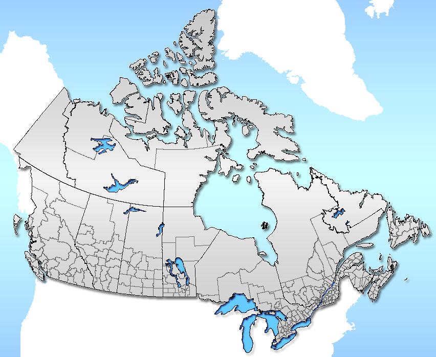
Census Divisions by province and territory
*Administrative divisions of Quebec
*Administrative divisions of Canada
*Quebec regional cultures
*List of people from the Gaspé Peninsula
*List of people from Mauricie
*List of people from Saguenay-Lac-Saint-Jean Subdivisions of Quebec|regions=yes
Wikimedia Foundation. 2010.